Trails Through Time: A Geologist’s Guide to Jefferson County Open Space Parks
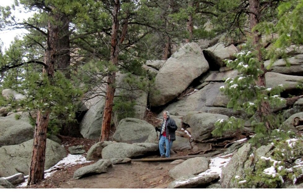
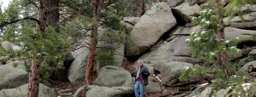
Typical outcrop of 1.4 billion year old granite in Alderfer/Three Sisters Park.
This article was initially published in 2014. Between then and now, the link to the full document was lost. Thankfully, we’ve just been able to recover a copy of the document, thanks to generous efforts by the USGS. We’ve embedded the document in our own library, for safekeeping. This repost will lead you to the full story of the geologic history of Jeffco’s Open Space Parks, as they were in 2014.
Jefferson County straddles one of the most conspicuous and important geographic and geologic boundaries in western North America, the eastern flank of the Rocky Mountains. To the east you can travel 1,100 miles across Great Plains and Central Lowlands before you sight the western foothills of the Appalachians. If you travel in the other direction you will cross or skirt mountain range after mountain range until you sight the Coast Range near San Francisco, more than 900 miles to the west. Many of these mountains have different ages and origins than the Colorado mountains, but they are all part of the great mountain belt called the North American Cordillera that extends along the western edge of the continent from Alaska through Mexico.
What is the reason for the remarkably straight and abrupt eastern flank of the Colorado Front Range? The brief answer is that it marks the edge of a block of ancient metamorphic and igneous rocks that has been uplifted relative to younger flat-laying sedimentary rocks that underlie the plains to the east. During the uplift, the sedimentary rocks along the boundary have been uplifted and tilted eastward to form the discontinuous line of hogback ridges that parallel the mountain front. Erosion during and after the uplift has removed the sedimentary rocks that once lay above the harder rocks of the mountain uplift, carved the scenic peaks and mountain canyons in the hard crystalline rocks of uplifted block, and worn away the softer layers of sedimentary rocks of the plains, but left a few of the harder upturned layers along the mountain front as hogback ridges.
Jefferson County Open Space Parks, as well as other nearby parks and National Forest lands, offer marvelous opportunities to explore the geologic story behind this singular landscape. At first the distribution of rocks of different ages and types seems almost random, but careful study of the rocks and landscape features reveals a captivating geologic story, a history that tells of the building of the foundations of the continent, the rise and destruction of long vanished mountain ranges, the ebb and flow of ancient seas, and the constant shaping and reshaping of the landscape in response to the never-ending interplay between uplift and erosion. This historical account is constantly being improved and expanded as new evidence accumulates and new interpretations evolve.
To read the rest, please download the full PDF.
The post Trails Through Time: A Geologist’s Guide to Jefferson County Open Space Parks appeared first on PLANJeffco.

